Tuesday 31 March 2015

And finally....


Saturday 28th March


We arrived back at Ingogo a couple of days ago and have been busy unpacking, cleaning, mending, drying out, sorting and repacking. In terms of ‘damage’ we have been lucky and apart from Ian having a small leak in his diesel tank (probably from a stone) and Don’s Blackberry not working
ever since he took it for a swim, we have not had any real problems. And no signs of malaria so far!


It has been a great trip and the memories will last us for a long time. In particular Kaoakoland with its remoteness and ancient landscape has left a deep impression on us and as we drove out of the area we both knew instinctively that we would be back here one day. Is it because here you feel the ancient rhythm of Africa at its best? Who knows…


And then there is the unresolved challenge of the Van Zyl pass which just won’t go away.

With a newly retired husband the possibilities are endless!


Love Gabi (and Don of course)

Thursday 26 March 2015

The Skeleton Coast, Sossusvlei and The Fish River Canyon


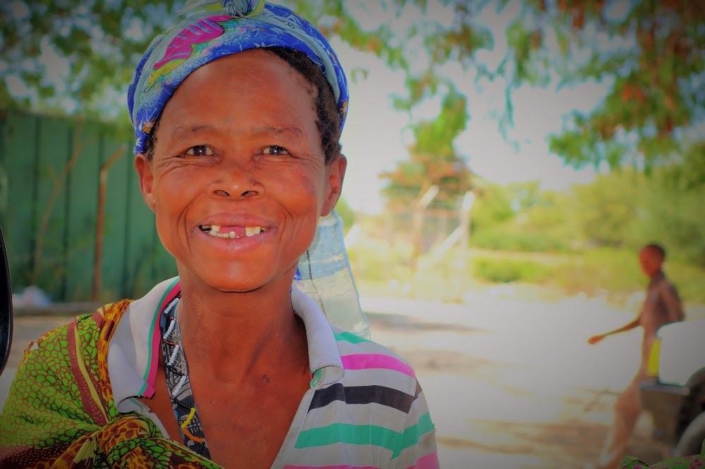
Thursday 17th March, The Skeleton Coast


We left Kaokoland four days ago and have been making our way south towards the Skeleton Coast. Driving out of Kaokoland and seeing this unusual landscape at a different time of the day to when we drove in was once again totally captivating. As we drove alongside and at times inside dry riverbeds, we kept a constant lookout for the elusive desert elephants but unfortunately we did not see them.

On our second day of travelling south we came over a hill to find Ian and Heather stranded in a river bed. Although the water wasn’t very deep, the sand was very soft and Ian’s front wheels were well and truly embedded in it.


So this time the 'big toys' did come out, first the tow rope which snapped almost as soon as Don was reversing and then the winch which managed to pull Ian out. Luckily the water level wasn’t rising which is something that can happen very suddenly following rain further upstream. That night we stayed at a camp in the far south of Kaokoland where Ian and Heather had encountered the desert elephants three years ago.


Ian had gone for a stroll while Heather was sleeping and when he came back to their truck with Heather sleeping in it, it was surrounded by the elephants which were feeding off the tree the truck was parked under. It must have been magic! Sadly we found out that the elephants had left this area two weeks ago and were on their way south in search of water.

We continued towards the Skeleton Coast spending an afternoon and the night at our last game reserve, called Palmweg Desert Rhino Reserve. Driving through the park at five miles per hour with temperatures again in the forties and the landscape comprising almost entirely of sun-reflecting red rock and not much else, on top of that a hot wind blowing (not unlike having your hair dryer blowing into your face), Heather and I reached a bit of a melting point and were LONGING for cooler temperatures.  

The next morning our wish came true! We only had a couple of hundred kilometres to go before reaching the entrance to the skeleton coast. As we drove closer to the Atlantic the temperature dropped from 38 degrees to 17 degrees within a couple of hours and when we reached our camp for the night we were ‘freezing’. The landscape was pretty bleak and eerie and with a combination of lingering fog and a constant wind blowing it felt more hostile than anything I have encountered on this trip.


We drove south along the coast the next day stopping at a couple of ship wrecks. The San people call this region ‘The land God made in anger’ and early Portuguese sailors called this coast ‘The Sands of Hell’ due to its treacherous coastline. If you survived being washed ashore (more than 100 ships have run aground on this coastline) you then faced a walk of at least 60 km inland through hot dusty desert. To add to the agony, lakes appearing at regular intervals on the horizon turned out to be nothing more than mirages.
Needless to say, it was a walk to certain death, hence the name ‘Skeleton Coast’.


We spent pretty much a whole day travelling south along the coast, the foggy bleakness only interrupted by stopping at a Cape fur seal colony which has existed in this location for over 400 years. The pups were about three months old (they are all born in mid-December) and it was a real delight to watch them. All in all, this colony is populated by 26,000 seals and the smell and sound is something to be experienced to be believed.


The colony also marks the spot where the first European, the Portuguese navigator Diogo Cao, set foot on the cost of south-western Africa in 1486.


Saturday, 21st March

We are now on our way to the Fish River Canyon which is the last item on our itinerary before heading back into SA. Following our drive along the Skeleton Coast we spent a couple of nights in a town called Swakopmund. For the first time we had to camp in a town campsite and it felt strangely claustrophobic having other travellers around us. Thus far we have been mostly on our own in the various camps and even on the roads. The town itself has a distinct German feel to it due to its architecture and the German tourists here and were it not for the palm trees you could think you were in a little town in Bavaria.


We treated ourselves to an evening in a Bierkeller drinking Weizenbier but since we were by the sea we opted for the fish rather than the Schweinehaxe mit Sauerkraut.

Before heading inland we made one last stop on the coast to visit a flamingo colony which was a real treat since they were right up close. Liam, you would have loved this! We reckon there must have been about a thousand flamingos, all moving and changing direction in unison as if performing some magic dance.


We then headed east towards the Namib desert and an area called Sossusvlei. This area is thought to be one of the oldest landscapes on earth and is famous for having Namibia’s highest sand dunes, some reaching as high as 300 meters. The sand forming the dunes is thought to have originated  in the Kalahari desert millions of years ago, was washed down towards the Atlantic by the Orange river and swept northwards by the Benguela current to be deposited along the coast. The best time to see the dunes is at sunrise when the reflection of the sun makes the dunes appear in all different shades of red and orange. When we left our camp it was still dark and although there was some cloud cover when the sun did come up the views were stunning. Again, not something you can capture in a photo but here is one anyway


 Sunday 22nd March, The Fish River Canyon

This 160 km long and 27 km wide gash in the earth is incredibly impressive but the total lack of plant life and incredible heat reflected off the exposed rock surfaces is quite startling. The canyon has been carved out of rock by the Fish river and is thought to be approximately 400 million years old, half as old as the earth itself! Now days the river is no more than a trickle.


The guidebook recommends a four day hike through the base of the canyon to ‘live it’ rather than ‘see it’. With the wildlife here consisting mostly of snakes, spiders and scorpions I was relieved when there was no interest expressed in a hike. Phew!


By the way, we stayed in a camp a couple of nights ago which had a tame springbok running around the camp site and which took a real liking to Don…


The look on the poor animal's face when we left...


Wednesday 18 March 2015

Thursday 11th March, The Kaokoveld


We have now traveled to close to the far north western corner of Namibia and are currently staying in an area called Marienfluss which lies at the heart of Kaokoland. Our Northern border is once again the Kunene River with Angola across from it. At this point the river is so narrow that you could easily swim the distance in 2 minutes, were it not for the crocs.

Kaokoland is one of Namibia’s remotest regions and has a totally prehistoric look and feel to it. The landscape is semi-desert and ranges from rugged mountains and dry riverbeds to vast sweeping plains. It is incredibly hot here; we measured temperatures in the low to mid forties and the air is very dry and hot.


 Everything here has over time adapted to the harsh arid conditions and the plants and trees which do exist here are something none of us have ever seen before. Also in this region are the endangered desert elephants which have long spindly legs, suited for long walks in search of water.


This area is also home to the semi-normadic Himba people, who are best known for smearing a mixture of ochre, butter and bush herbs over their bodies which protects them from the sun and insects. They have so far resisted most outside influences to modernise and still live like they have done for generations, herding cattle and goats and living in very simple huts which have the appearance of large beehives.


With this area being so isolated and there being no phone signal for miles it appears that the way to communicate with your neighbours is to strategically place a pile of rocks in the vicinity of your homestead. At least that is what we think these strange configurations of stone are:


At the heart of Kakaoland lies an area called Marienfluss which is really hard to describe. It is a valley stretching 120 km from south to north and is like an oasis in the middle of a desert. Since it is almost totally flat, not unlike the salt pan in Etosha, and surrounded by mountains, it feels like you are in a giant cathedral. During the wet season, the dry hot soil is apparently transformed into a lush green landscape stretching out for miles, however, we only saw it at its driest and hottest.


Adding to the mystique of this place are hundreds of what has been termed ‘magic circles’ which are perfectly formed circles in the soil where there is no vegetation at all. There are many theories as to what causes this phenomenon but nobody actually knows.


There are two routes into this valley, the ‘shorter’ but very steep six hour Van Zyl pass which is a 4x4 challenge only for the most experienced drivers and then there is the slightly longer but less steep route.


Van Zyl pass from the top

There was much debating which route to take over the campfire the night before but when it became apparent that Heather and I would actually have to walk in front of the vehicles (backwards!) to find the safest route down, we declined (the pass is made largely of loose rocks and requires a ‘spotter’ to mark out the route).

So we went the long way. It took us almost two days of driving to get here but we all feel it was worth it. The drive itself is a mixture of rock crawling, sand driving and teeth rattling corrugation skimming, averaging speeds of no more than 20 miles per hour with the most stunning scenery. Each time we came across a particularly challenging pass, Don muttered ‘Ed would love this!’  We must have crossed about thirty or so riverbeds, luckily all of them dry. Except one!

After leaving Etosha Game Park we made our way towards this most north western corner of Namibia via the Epopa Falls. We made an early start the next morning after a night of heavy rain. When we got to the river we encountered our first flash flood ‘wet’ river bed and not only had the bridge been washed away but the water was flowing so fast that there was no way we could cross. So you wait.


 Heather used the time to do her laundry and I was reading. We were soon surrounded by Himba people who came to observe the spectacle. Several 4x4’s were waiting to cross but no-one wanted to be the first one to go. 


After waiting for at least six hours and there not being any sign of the water level dropping sufficiently we decided that today was not the day. So the boys wanted to set up camp for the night right there, by the river, Voortrekker style. Heather and I reminded them that we were not actually travelling in ox-wagons and they finally (reluctantly!) relented and we turned back and spent the night in the nearest camp. The next morning the water level still hadn’t dropped so we headed upriver looking for a safe place to cross. We eventually found a spot and made it across. Phew!


Tomorrow we are starting our journey south along the Skeleton Coast. Unlike in Sudan, where we celebrated our most Northern point with stale warm water, tonight we celebrate with cold beers. 

Monday 9 March 2015

Thursday 5th March – Bushmanland


We have just left Khaudum Game Reserve and are on the road towards Etosha Game Reserve, traveling through the heart of Boesemanland (also called Bushman land). This area is home to the largest remaining community of indigenous Bushmen or San people who still live on their ancestral land, the Nyae Naye  Conservancy. The San people occupied Southern Africa long before black and white settlers invaded their territories. Most are still very traditional as they have only had contact with western civilisation since the 1950s. There is archaeological evidence that San people were present in Namibia as long back as 20,000 years ago and they left evidence in the form of rock paintings.


Khaudum deserves a special mention since even before entering it you feel some kind of awe. The guidebook describes it as ‘an intense wilderness challenge’ mostly due to the deep sandy trucks and the fact that there is no signage and you are mostly reliant on your GPS. 


So we spent two full days meandering through deep sandy trucks. Because of the tracks having been pre-formed by previous vehicles, you swerve from side to side the whole time which at times feels like you are swimming on the sand. Of course the boys loved it!

Luckily we didn’t get stuck once so none of the big toys (winches, tow ropes etc) were needed. Nevertheless, it still took us all day to travel from the northern entrance to the reserve to the southern exit, travelling mostly in second year with the engine being tested to its limit.

We had plenty of animal sightings, mostly elephant. In this park you keep a respectful distance since there is no quick get-way due to the sandy tracks.


Before Khaudum we had stopped for two nights in a quirky little camp on the Okovango River. It had a caged swimming pool immersed in the river to protect you from the crocs and hippos so we had our first swim on this trip.


As you enter the camp there are a couple of amusing signs:


And this one is for you Ed (says Don):


Und Tante Tillia das ist unser Hotel:


So now we are on our way to our last game reserve in Namibia, Etosha.

For the last four days I have been totally deaf in one ear, so the highlight of the trip so far has been having a goggo (small insect) ,which must have climbed in and made a little nest in my ear, flushed out by a doctor in a little town that we stopped at along the way. Phew, what a relief! It was my right ear and since Don’s hearing isn’t great either, some of our dialogues in the car were priceless!

Sunday 7th March Etosha Game Reserve


This morning we left Etosha after a couple of great days of game driving. The highlight for both of us was literally stumbling (at low speed, in our truck) on three adult young male cheetah as we turned a corner on a fairly desolate track. The sighting literally took our breath away since neither of us had ever been this close to a cheetah, let alone three. They were not overly perturbed by us at all and were in no hurry to get away, so we had the privilage of watching them for at least twenty minutes before they ambled off into the bush. Amazing!

Unfortunately, Ian and Heather were on a different drive and out of radio range so we couldn’t share the experience with them.


Etosha is mostly famous for its large salt pan, a dried up saline lake covering an area of nearly 5,000 square kilometres. Thousands of years ago the Kunene River would have fed the Etosha lake but now it has dried up forming a gigantic salt pan, except for a few days a year when it is converted by rains into a shallow lagoon teeming with flamingos and pelicans. The view across this extensive expanse of desert flatness is truly incredible and cannot really be captured by a photograph, but this is what it looks like anyway:

From this point the pan stretches out for 130 km

Etosha really is teeming with wildlife and apart from the Cheetah we saw black and white rhino, a lioness and lion with a recently killed zebra, plenty of giraffe and zebra and the usual assortment of  game.

We are now making our way to the north western corner of the country near the Angolan border before turning south along the skeleton cost.

Monday 2 March 2015

Namibia - Mudumi Game Reserve

Friday 27th February

Mudumi Game Reserve Booking Office

We crossed the border into Namibia two days ago and spent a couple of nights in a campsite by the Chobe River within the Caprivi strip, this time with Zambia (no longer Botswana) on the other side of the river.  It was our first full ‘rest day’ since we left Ingogo and it was good to have time to catch up on clothes washing, plan the next stage of our trip and we also had our first internet access.

We then moved on to the nearest town Kamilo Malilo to stock up on reserves for the week ahead. The plan is to visit three game parks in succession and since neither of them provide any facilities you need to be self-sufficient to enter them, including your own water. Because of the heat, Don and I are between us drinking about 4 litres of water a day at the moment.

It is now day two in the first game reserve, called Mudumi. We have set up camp in a sheltered spot by the river where Ian and Heather had stayed before, after we had separated from each other at the end of our previous trip in Tanzania two year ago. They had liked it so much that they ended up spending an entire week here.  Other than a ‘longdrop’ toilet there is nothing here, just wildlife all around and those awesome hippo sounds in the night.


This is supposed to be the rainy season but currently everything is very hot and dry. All the way since leaving Ingogo we have seen miles and miles of mielie (maze) crop struggling to survive due to the lack of rain.

Anyway, so last night halfway through our braai the rainy season started (for us, anyway). The rain came so suddenly and so intensely that we had to abandon supper and head for our rooftop tents hungry.  Luckily our tent stayed dry in the night, Ian and Heather’s got rather wet. The only upside of it was the fact that we managed to collect about 30 litres of rain water in various containers. Beats washing in river water!

Woke up with curly hair this morning (from the rain I think) and decided to have my hair cut by the only hair dresser for miles.


Sunday 1st March,

We spent all of Friday driving around Mudumi game reserve. It is a mixture of swampland with very long grass and ancient forest. Apart from elephant and the usual game we came across this rare creature called Leguavaan which Don was very excited about. It is about a meter long and so well camouflaged that you would never see it unless it was moving.


It was one of the hottest days so far and driving at five miles per hour in this heat was a challenge. So we were very excited when we got back to our camp where Ian had been busy rigging up a bush shower. Bliss!


And here is the view from the shower:


We left Mudumi yesterday morning and drove some 50 km south to the second camp called Mamili. This one differs from Mudumi in that it is almost entirely swampland and usually 90 % of it is submerged in water at this time of the year. However, because of the lack of rain it was very dry and it appeared like most of the animals had migrated across the Linyati River into Botswana. Nevertheless, the countryside is stunning with all different coloured tall grasses.


.
 We found a nice little camp for the night with a basic shower and toilet, so us girls were happy J

Halfway through the night it started raining heavily again and for the first hour this morning we didn’t even get out of our tents since everywhere around us was mud. When we eventually did get out we found that although it was wet all around us, there was no water in the tank feeding the showers or the toilet. We sat around drinking coffee and making poached eggs (thanks for the egg poachers Ed and Sandy, used for the first time today!) when the camp guard appeared, trying to pump the river water into the overhead tank, only to find that the pump was not working and Don and Ian stepped in to fix it.


The guard had believed that the pump had been broken, so he was very happy to have it working again. He treated us in turn by heating the river water for  a hot shower and since we were still wet and for the first time even cold, it was a real treat.


Next we are planning to make our way to the Okavango River, where we will leave the Caprivi Strip and then make our way westwards to our third Namibian camp, Kadum.